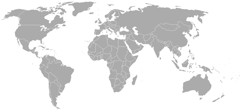
Ofbeeldienge:BlankMap-World-1962.png
Uiterlijk

Grootte van deze voorvertoning: 800 × 370 pixels. Andere resoluties: 320 × 148 pixels | 640 × 296 pixels | 1.357 × 628 pixels.
Ofbeeldienge in een ôgere resolutie (1.357 × 628 pixels, bestandsgrootte: 48 kB, MIME-type: image/png)
Bestandsgeschiedenisse
Klik op een datum/tijd om het bestand te zien zoals het destijds was.
| Datum/tijd | Miniatuur | Afmetingen | Gebruiker | Opmerking | |
|---|---|---|---|---|---|
| huidige versie | 24 sep 2007 02:49 |  | 1.357 × 628 (48 kB) | Hoshie | put the (N/S) Yemen boundary in white due to the fact the boundaries in southern Saudi Arabia have been disputed, undemarcated, or undisclosed over the years. |
| 6 ogu 2007 00:43 |  | 1.357 × 628 (48 kB) | Hoshie | Added Cabinda; under same lic. as original. | |
| 28 jan 2007 10:27 |  | 1.357 × 628 (48 kB) | Hoshie | added Ifni, a Spanish enclave. | |
| 5 jan 2007 23:54 |  | 1.357 × 628 (48 kB) | Roke~commonswiki | Blank world map with 1962 borders. This is accurate between December 19, 1961 (India takes over the Portugese colony of Goa) and July 1, 1962 (Belgian colony of Ruanda-Urundi separated into Rwanda and Burundi.) See [[w:List of national border changes sinc |
Bloadn met dizze ofbeeldienge
Geen enkele pagina gebruikt dit bestand.
Globaal bestandsgebruik
De volgende andere wiki's gebruiken dit bestand:
- Gebruikt op ca.wikipedia.org
- Gebruikt op es.wikipedia.org
- Gebruikt op fr.wikipedia.org
- Gebruikt op nl.wikipedia.org


