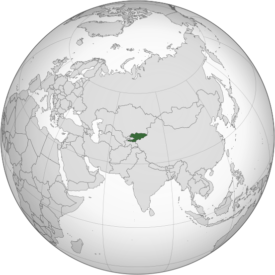
Ofbeeldienge:Kyrgyzstan (orthographic projection).svg

Afmetingen van deze voorvertoning van het type PNG van dit SVG-bestand: 553 × 553 pixels Andere resoluties: 240 × 240 pixels | 480 × 480 pixels | 768 × 768 pixels | 1.024 × 1.024 pixels | 2.048 × 2.048 pixels.
Ofbeeldienge in een ôgere resolutie (SVG-bestand, nominaal 553 × 553 pixels, bestandsgrootte: 346 kB)
Bestandsgeschiedenisse
Klik op een datum/tijd om het bestand te zien zoals het destijds was.
| Datum/tijd | Miniatuur | Afmetingen | Gebruiker | Opmerking | |
|---|---|---|---|---|---|
| huidige versie | 31 jul 2023 01:08 |  | 553 × 553 (346 kB) | Cutlass | rv sock edits |
| 6 jun 2023 16:09 |  | 553 × 553 (310 kB) | Cutlerys | Reverted to version as of 12:34, 4 August 2013 (UTC) | |
| 6 jun 2023 16:08 |  | 553 × 553 (306 kB) | Cutlerys | Reverted to version as of 23:39, 16 March 2015 (UTC) | |
| 1 mei 2016 18:17 |  | 553 × 553 (346 kB) | Nicolay Sidorov | ... | |
| 16 mrt 2015 23:39 |  | 553 × 553 (306 kB) | Flappiefh | Removed Somaliland and Kosovo. Separated Western Sahara and Morroco. | |
| 4 ogu 2013 12:34 |  | 553 × 553 (310 kB) | Flappiefh | Added South Sudan. The map is now centered on Kyrgyzstan. | |
| 9 jul 2012 16:02 |  | 550 × 550 (490 kB) | Hariboneagle927 |
Bloadn met dizze ofbeeldienge
Der is/zyn verwyzieng(e)n noar dit bestand ip de volgende bloadn:
Globaal bestandsgebruik
De volgende andere wiki's gebruiken dit bestand:
- Gebruikt op ady.wikipedia.org
- Gebruikt op af.wikipedia.org
- Gebruikt op ami.wikipedia.org
- Gebruikt op ar.wikipedia.org
- Gebruikt op arz.wikipedia.org
- Gebruikt op ast.wikipedia.org
- Gebruikt op as.wikipedia.org
- Gebruikt op av.wikipedia.org
- Gebruikt op azb.wikipedia.org
- Gebruikt op bcl.wikipedia.org
- Gebruikt op bg.wikipedia.org
- Gebruikt op bh.wikipedia.org
- Gebruikt op bi.wikipedia.org
- Gebruikt op blk.wikipedia.org
- Gebruikt op bn.wikipedia.org
- Gebruikt op ca.wikipedia.org
- Gebruikt op cdo.wikipedia.org
- Gebruikt op ceb.wikipedia.org
- Gebruikt op cs.wikipedia.org
- Gebruikt op cy.wikipedia.org
- Gebruikt op dag.wikipedia.org
- Gebruikt op da.wikipedia.org
- Gebruikt op de.wikivoyage.org
- Gebruikt op diq.wikipedia.org
- Gebruikt op el.wikipedia.org
- Gebruikt op en.wikipedia.org
- Gebruikt op en.wikinews.org
- Gebruikt op eo.wikipedia.org
- Gebruikt op es.wikipedia.org
- Gebruikt op fa.wikipedia.org
- Gebruikt op fi.wikipedia.org
- Gebruikt op fo.wikipedia.org
- Gebruikt op frr.wikipedia.org
Globaal gebruik van dit bestand bekijken.

